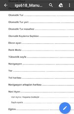
@Gringo1903 .map dosyaları navigasyon arka plan (harita) dosyası. GPX dosyaları rota v.b. için. Kullanım klavuzunda iGPSPORT/Navigation klasöründe bir adet .map uzantılı dosya olsun diye belirtmiş. Türkiye 1 haritasını yükleyecekseniz, iGPSPORT/Navigation klasöründe başka .map uzantılı silmelisiniz, klavuzu yalnış anladıysam.
1. Download the map file from our website
2. Connect iGS618 to computer via USB cable
3. Copy the map file(name the map file within 28 characters) into iGPSPORT/Navigation folder.
4. Disconnect iGS618 from computer.
Note: 1. The map file shall be with format( . map), and copy it under Navigation folder.
2. After GPS fixed, open the valid map file, the map will be displayed under waypoints 1km/500m/250m. In map function, the north-upword will be turned off automatically( the map and route will not rotate).
3. Road in yellow color means the main road, in gray color means the secondary road. It will only show the main road under waypoint 1km.
4. Device support only loading one map each time (Please upload only one map file to device each time, and delete the old file before uploading the new one).
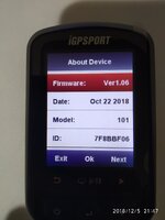
Mail atarsanız 1.06 dosyasını size gönderebilirler tahminim.


